Location
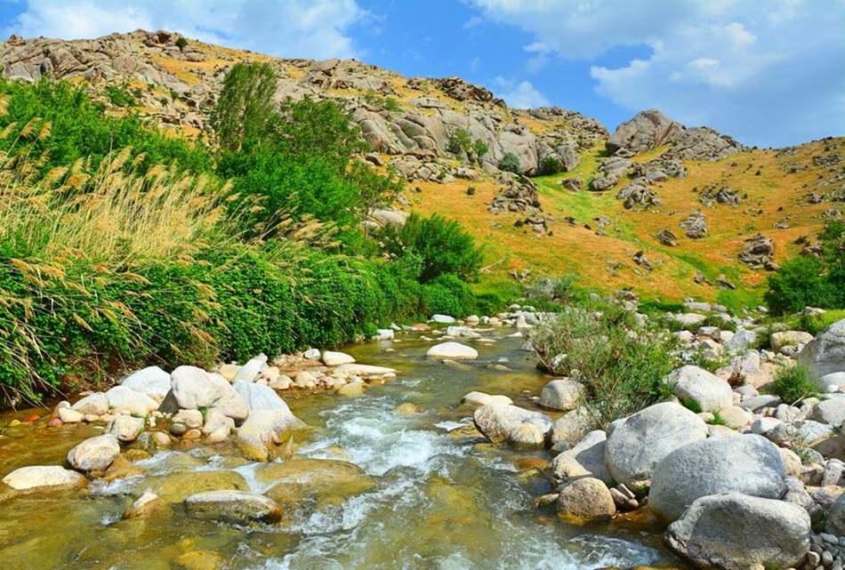
The tourist and recreational zone "Ohalik-Ok Buyro-Mirankul" is located 12 kilometers from the city of Samarkand (connected to the capital by bus) and 15 kilometers from the railway station. This incredibly picturesque natural attraction is located in the Samarkand region, 15 km southwest of Samarkand, in the valley of the Ohaliksay River. Ohalik is a spur of the Zeravshan ridge, which stretches for 370 km in the territories of Uzbekistan and Tajikistan.
The relief of the Samarkand region is represented mainly by hills and low mountains located in the southern and eastern parts of the region. There are also lowlands. The mountainous areas of the region are on average at an altitude of 700 to 900 meters above sea level. The average altitude of the area is about 450 meters. In addition to Ohalik, the region contains the Mirankul and Sarykul mountain ranges.
Ohalik, located in the area of the village of the same name, has an average altitude of about 818 meters above sea level. The main peak of Ohalik and the entire Samarkand region is Mount Kemkutan (2178 m)
Climate
The climate of the territory is subtropical, with hot summers and fairly cool winters. The average annual temperature is +13 degrees, the average January temperature is about 0 degrees, the average July temperature is about +25 degrees. In general, summers in the region are long, hot and dry - the region receives 300–320 mm of precipitation per year. Most precipitation occurs in spring and autumn, with snow often falling in winter. The number of clear, sunny days significantly exceeds the number of cloudy ones.
The most favorable period for visiting this region is the beginning and middle of spring - during this period, flowering begins on the mountain slopes, and there is not a hint of the approaching summer heat in the air.
Flora and fauna
The flora of the Ohalik massif is quite rich. First of all, crops that have food value are widespread here: camel thorn, wormwood, wheatgrass, panicle. Apple trees, rose hips, barberries, various types of nut trees, and many types of medicinal mountain herbs are found growing wild.
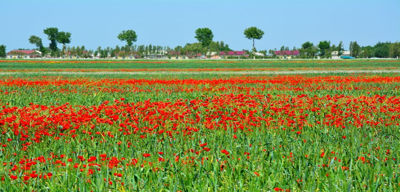
In the spring, during the flowering period, poppy blossoms are a specially picturesque “attraction” for tourists. The huge poppy fields of this region amaze with their size and beauty.
What is interesting about Ohalik and Ok Buyro?
Located at an altitude of more than 800 meters above sea level, the Ohalik region is distinguished by an abundance of sun, dry and clean healing mountain air, favorable for the treatment of patients with respiratory diseases. Several sanatoriums are open here: a children's tuberculosis sanatorium and the Ohalik sanatorium, which also provides specialized courses for the treatment of diseases of the nervous system, cardiovascular system, gastrointestinal tract and other health procedures.
The Ohalik mountain range is extremely popular as a destination for hiking, day trips and multi-day treks. Due to the fact that the mountains here cannot be called high, climbing them is accessible even for beginners. For professionals, tours are organized to conquer more difficult peaks, for example, Mount Kemkutan.
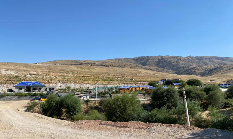
There are several recreation areas in the village, Ok Buyro Garden, Khokimbobo, Oila, Sharshara and others.
Working hours: 9:00 AM - 6:00 PM, Mon-Fri
For any questions


 UZB
UZB RUS
RUS CN
CN JPN
JPN ARA
ARA FRA
FRA DE
DE POR
POR ESP
ESP TUR
TUR ITA
ITA HIN
HIN MAL
MAL

Comment